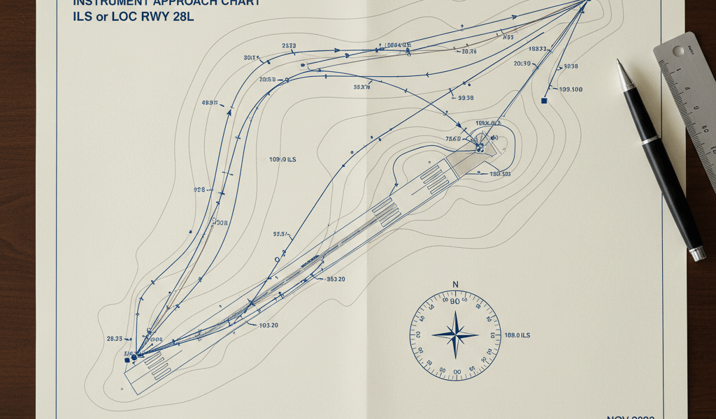
EIDW Charts: A Comprehensive Guide
Navigating airspace is a complex yet vital aspect of aviation. Dublin Airport (EIDW) charts play a crucial role in this process. These charts are essential for pilots and air traffic control. They offer precise data for safe and efficient flights. Here, we’ll break down what EIDW charts are and how they function.
What Are EIDW Charts?

EIDW charts are aeronautical charts specifically for Dublin Airport. They provide crucial information about the airport’s layout, surrounding airspace, and other pertinent flight data. These charts are used for navigation, planning, and conducting flights to and from EIDW. They include information on runways, taxiways, gates, and terminal buildings.
Types of EIDW Charts
Multiple types of charts serve different purposes. Each offers unique information valuable at various stages of the flight.
1. Aerodrome Charts
These charts give an overview of the airport. They include all runways, taxiways, and apron areas. They also show buildings, hangars, and other structures. Pilots use these charts during taxi, takeoff, and landing operations.
2. Ground Movement Charts
Ground movement charts detail taxiways and runway intersections. They assist pilots in navigating the complex taxiway systems.
3. Approach and Landing Charts
These charts provide information for landing at the airport. They include details about the final approach and missed approach procedures. They help pilots transition from en route to landing.
4. Departure Charts
Departure charts outline the departure procedures from the airport. They include instructions for climbing and navigating away from the airport. These charts are used right after the takeoff phase.
How to Read EIDW Charts
Understanding EIDW charts is critical. Let’s explore how to read these charts effectively.
Coordinate Systems
Charts use a grid system based on latitude and longitude. These coordinates help in pinpointing exact locations on the chart.
Symbols and Markings
Symbols represent different elements such as runways, taxiways, and terminals. Runways are depicted with bold lines. Taxiways are marked with dashed lines.
Elevation and Obstacles
Elevation data is crucial. Contour lines show variations in terrain elevation. Obstacles such as antenna towers are marked with symbols and heights. This information helps in flight planning to avoid potential hazards.
Navigation Aids
Charts include information on navigation aids like VORs and NDBs. These aids assist in precise navigation. Frequencies and locations of these aids are clearly indicated.
Benefits of Using EIDW Charts
- Improved situational awareness
- Enhanced safety during airport operations
- Efficient flight planning and execution
- Accurate navigation and reduced risk of errors
Common Challenges
Reading and interpreting charts can be challenging. Pilots need extensive training to master the use of these charts. Misinterpretation of data can lead to navigation errors. Keeping charts updated is another challenge, as airports frequently change their layouts.
Technological Advances
Modern technology has revolutionized the use of aeronautical charts.
Electronic Flight Bags (EFBs)
EFBs have replaced traditional paper charts. These devices provide digital access to charts and updates in real-time. They enhance ease of use and accessibility.
GPS Integration
Integration with GPS has improved accuracy in navigation. Pilots can now use real-time positioning data along with their charts. It significantly reduces the chances of error.
Online Chart Services
Online platforms provide access to the latest versions of EIDW charts. These services ensure that pilots always have the most current information available.
Best Practices in Using EIDW Charts
Several best practices can optimize the use of EIDW charts in aviation operations.
Training and Proficiency
Regular training ensures proficiency in using charts. Simulation exercises help in mastering the interpretation of chart data.
Pre-Flight Briefing
A thorough pre-flight briefing includes a review of the latest charts. It prepares the flight crew for any changes or unusual procedures.
Regulatory Compliance
Compliance with aviation regulations is crucial when using EIDW charts.
The International Civil Aviation Organization (ICAO) sets global standards for aeronautical charts. Regulatory bodies such as the Federal Aviation Administration (FAA) and the European Union Aviation Safety Agency (EASA) enforce these standards. Adherence to these regulations ensures safety and uniformity in chart usage.
“`


