The Science of Route Optimization

Non-standard temperatures shift the optimal altitude up or down. Warmer than expected? Drop lower. Colder conditions? You can cruise higher and more efficiently. The flight management computer handles this in real-time, but it matters for planning too.
Even the most fuel-optimal route has to navigate a maze of restrictions:
Aircraft must follow published routes in controlled airspace unless ATC clears them otherwise. Modern planes have the capability to fly direct, but traffic flow requirements often mandate specific paths. The system is moving toward more flexibility, but it’s slow going.
Military operating areas, restricted airspace, and prohibited zones force deviations that can add significant distance. Some restrictions are permanent. Others activate on schedules or by NOTAM. Flight planners have to account for all of them.
International relations have real routing consequences. Russian airspace closures forced many Europe-to-Asia routes onto much longer paths, adding hours and fuel to flights that previously took direct shortcuts. Some countries charge hefty overflight fees that actually influence route economics. It’s not just about physics — it’s about politics and money too.
Twin-engine aircraft have to stay within a specified flying time of suitable emergency airports. Over remote oceans and polar regions, this limits how far off the beaten path a twin-engine jet can go. It’s a safety rule that shapes routing in ways most passengers never think about.
Modern flight planning uses some seriously impressive technology:
Specialized software like Lido, Jeppesen, and SITA’s platforms calculate optimal routes by crunching aircraft performance data, wind forecasts, airspace structure, and operational constraints simultaneously. The output balances efficiency against every real-world limitation the flight will face.
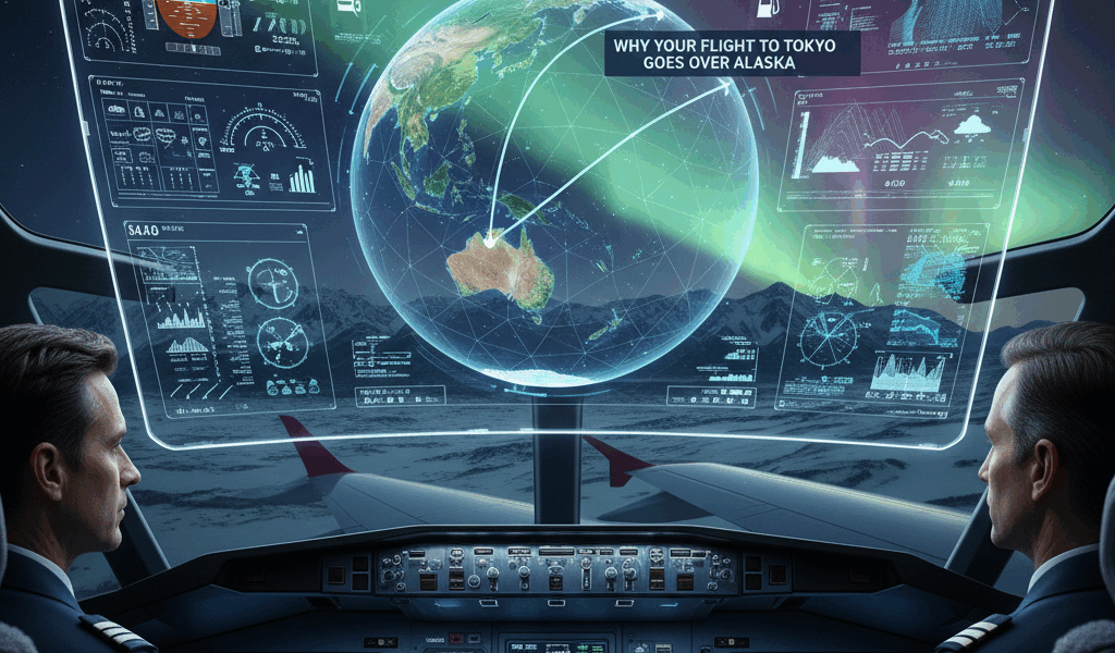
Algorithms evaluate wind fields across every potential route, finding paths that minimize total air distance — meaning distance through the actual air mass — rather than distance over the ground. The distinction matters more than most people realize.
Advanced systems go beyond lateral routing to optimize the entire trajectory: climb profiles, cruise altitude selection, and descent planning all get fine-tuned together.
Routes aren’t locked in once the plane takes off. In-flight optimization adjusts based on actual conditions. If winds differ from the forecast, updated routing for the remainder of the flight can still save meaningful fuel.
Individual flight routing is one thing. Airlines also optimize at the network level:
Matching the right aircraft type to each route based on range, capacity, and efficiency. Long-thin routes with few passengers over long distances need different equipment than short-fat routes with heavy demand over short hops. Getting this wrong is expensive.
Connection bank timing determines which city-pairs can be served with what connection times. A few minutes’ shift in a bank structure can open or close dozens of competitive itineraries.
More flights with smaller aircraft or fewer flights with bigger planes? Both approaches have tradeoffs in schedule attractiveness and operational efficiency. The right answer depends on the specific market.
Route optimization increasingly factors in environmental impact, which I think is overdue:
Fuel-optimal routing directly cuts CO2 emissions. Some carriers are going further with climate-optimal routing that also considers non-CO2 effects like contrail formation. It’s early days but promising.
Departure and arrival routes get designed with noise exposure in mind. Preferential runway systems and noise-sensitive routing protect communities near airports, even when it adds a bit of distance.
Procedures allowing uninterrupted climbs and descents save fuel and cut emissions compared to the level-off segments that traditional traffic management imposes. It’s one of those gains that’s available right now with existing technology.
Route optimization always involves tradeoffs between competing goals:
Faster routes typically burn more fuel. Cost index parameters balance time-related costs against fuel costs to determine optimal speed and routing for each specific flight.
Fuel prices vary wildly by location. Sometimes it makes economic sense to carry extra fuel from a cheaper station — called tankering — even though hauling extra weight increases total burn. The math works out surprisingly often.
Flight time limits and duty regulations affect which routings are actually feasible. A fuel-optimal route that pushes the crew past their limits isn’t really optimal at all.
Route optimization keeps advancing:
Eurocontrol and other authorities are rolling out free route airspace, letting aircraft fly direct paths rather than following published airways. This unlocks more wind-optimal routing and removes artificial constraints.
Time-based flow management assigns specific arrival times, enabling tighter planning and reducing those inefficient airborne holds and speed adjustments.
AI models are starting to assist with optimization, learning patterns from historical data and making better predictions than traditional methods. It’s not replacing dispatchers, but it’s giving them better tools.
Aircraft reporting actual wind conditions to each other enables more accurate en-route optimization. Better data means better routing decisions mid-flight.
Route optimization sits at the intersection of meteorology, mathematics, and real-world operational constraints. The savings — measured in fuel burned, hours flown, and emissions produced — fully justify the sophisticated planning systems and constant operational attention. As airspace modernization moves forward and optimization tools get smarter, routing will keep getting more efficient. Airlines, passengers, and the environment all benefit when every flight finds its best possible path.


Stay in the loop
Get the latest aerodata updates delivered to your inbox.