Navigation Solutions
Navigation has always been a critical challenge for humans, from ancient mariners to modern drivers. Understanding navigation solutions involves looking at both historical methods and modern technologies that help us find our way accurately and efficiently.
Historical Methods

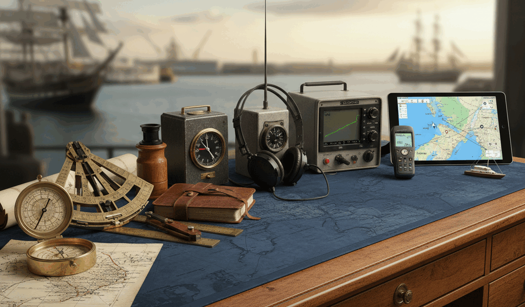
The earliest navigation methods were based on landmarks and natural elements. Ancient sailors used the stars to guide their voyages. Celestial navigation relied on the positions of celestial bodies such as the sun, moon, and stars. Instruments like the astrolabe and sextant were developed to measure the angles between these bodies and the horizon, allowing sailors to determine their latitude.
Terrestrial navigation, on the other hand, involved using physical landmarks. Travelers on land would use rivers, mountains, and other natural features to navigate. The development of the compass in the 12th century marked a significant advancement. This magnetic device pointed north, giving navigators a reliable reference direction.
Paper Maps and Charts
Mapping became more sophisticated with the creation of detailed maps and charts. Cartographers began producing more accurate representations of geographic areas. During the Age of Exploration, maps were essential for explorers to document new lands and create reliable routes for future travelers. Printed materials became more accessible, and maps were widely distributed.
Paper maps, however, had limitations. They couldn’t update instantly, and wear and tear could render them useless over time. Nonetheless, they laid the foundation for future navigation advancements.
Electronic Navigation
The 20th century saw a revolution in navigation technology. Radio navigation systems, such as LORAN (Long Range Navigation), were introduced during World War II. These systems used radio signals from fixed transmitters to determine the position of a receiver. They provided more accuracy and reliability compared to traditional methods.
The development of the Global Positioning System (GPS) transformed navigation once again. GPS relies on a network of satellites orbiting the Earth. Receivers on the ground use signals from multiple satellites to calculate their precise location. This technology is now ubiquitous, found in smartphones, cars, and dedicated GPS devices.
Modern Navigation Apps
Navigation apps have become an integral part of daily life. Applications like Google Maps, Waze, and Apple Maps offer real-time navigation solutions. These apps provide turn-by-turn directions, traffic updates, and estimated travel times.
Google Maps uses a vast amount of data to offer accurate navigation. It incorporates satellite imagery, street view, and user data to improve its accuracy. Waze, on the other hand, relies heavily on user-generated content. Drivers can report traffic incidents, road closures, and other issues in real-time. This crowdsourced data helps the app provide faster routes and avoid delays.
Apple Maps, although initially criticized for inaccuracies, has significantly improved. It now integrates with other Apple services and offers features like Flyover, which provides 3D views of major cities.
Autonomous Navigation Systems
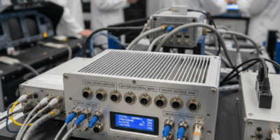
The rise of autonomous vehicles has pushed the boundaries of navigation solutions further. Self-driving cars rely on a combination of GPS, sensors, and artificial intelligence. These systems continuously analyze data from cameras, lidar, and radar to navigate safely. Autonomous navigation is not limited to cars. Drones and robotic systems use similar technology for mapping, delivery, and exploration missions.
Marine Navigation
Marine navigation has also benefited from technological advancements. Modern ships use GPS, electronic chart display and information systems (ECDIS), and automatic identification systems (AIS). ECDIS provides real-time navigation information, integrating data from GPS and other sensors to ensure safe passage.
AIS allows vessels to exchange information about their position, speed, and course. This system helps prevent collisions and improves situational awareness for mariners.
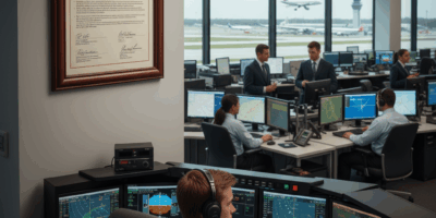
Aviation Navigation
Aviation navigation relies on a blend of GPS, inertial navigation systems (INS), and radio aids. INS uses accelerometers and gyroscopes to track an aircraft’s position, providing reliable data even when GPS signals are weak. Aircraft also use VOR (VHF Omnidirectional Range) stations, which transmit radio signals that pilots can use to determine their position relative to a specific location.
Modern commercial aircraft are equipped with sophisticated navigation systems that integrate multiple data sources. These systems ensure accurate and efficient navigation during all flight phases.
Augmented Reality Navigation
Augmented reality (AR) is making its way into navigation solutions. AR combines digital information with the physical world, offering enhanced navigation experiences. Apps like Google Maps have integrated AR features for pedestrian navigation. Users can see virtual arrows and information overlaid on their real-world environment through their smartphone cameras.
AR navigation can also be found in heads-up displays (HUD) for vehicles. These systems project important information, such as speed, turn directions, and traffic conditions, onto the windshield. This allows drivers to keep their eyes on the road while accessing necessary information.
Indoor Navigation
Traditional GPS signals are often unreliable indoors. Indoor navigation solutions use different methods to track movement inside buildings. Technologies like Bluetooth beacons, Wi-Fi, and ultra-wideband (UWB) are commonly used. These systems provide accurate location data for navigating complex indoor environments like airports, shopping malls, and hospitals.
Indoor navigation apps can guide users to specific locations within a building, offering turn-by-turn directions similar to outdoor navigation systems.
Integration with Smart Devices
Navigation solutions are increasingly integrated with smart devices. Wearable devices like smartwatches offer navigation features, providing directions and notifications through subtle vibrations or visual cues. They are convenient for activities like running or hiking when carrying a smartphone is impractical.
Smart home devices also interact with navigation systems. Voice assistants like Amazon Alexa and Google Assistant can provide directions and traffic updates, allowing users to plan their journeys while at home.
Sustainable Navigation
Sustainability is an emerging trend in navigation solutions. Apps like Google Maps and Waze offer eco-friendly route options that reduce fuel consumption and emissions. Electric vehicle (EV) navigation systems consider factors like battery range and charging station locations to optimize routes for EV users.
Sustainable navigation solutions aim to minimize the environmental impact of travel while maintaining efficiency.
Challenges and Future Developments
Despite advancements, navigation solutions face challenges. Signal interference, data privacy concerns, and the need for constant updates are some of the issues. Autonomous navigation systems must achieve higher reliability and safety standards before widespread adoption.
Future developments may include more sophisticated AI algorithms, enhanced connectivity, and improved integration with other technologies. As artificial intelligence and machine learning advance, navigation systems will become more intuitive and capable of handling complex scenarios.
Conclusion
Navigation solutions have evolved significantly, from ancient star-based methods to cutting-edge GPS and AI-driven technologies. They are pivotal in our daily lives, making travel safer, more efficient, and increasingly sustainable. As technology continues to advance, navigation solutions will undoubtedly become even more integral to how we move through the world.
“`


Stay in the loop
Get the latest aerodata updates delivered to your inbox.