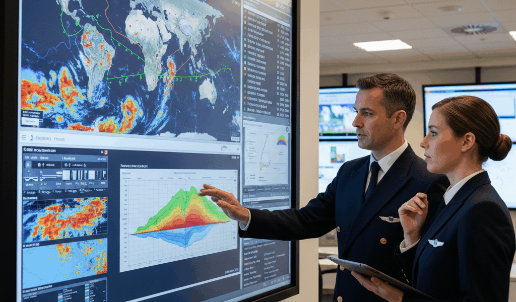
Weather causes 70% of all flight delays and remains the single most critical factor in aviation safety. Whether you’re a student pilot studying for your checkride, an instrument-rated aviator planning a cross-country, or an aviation data professional analyzing operational patterns, understanding meteorological reports transforms raw weather data into actionable intelligence.
The Language of Aviation Weather
Aviation weather uses a standardized international format that hasn’t changed significantly since the 1960s. This consistency means a pilot in Tokyo reads the same weather codes as one in Toronto. The system works precisely because it eliminates ambiguity when lives depend on accurate information.
METAR: The Current Picture
METAR (Meteorological Aerodrome Report) captures surface weather conditions at airports worldwide. New observations typically publish every hour, with special reports (SPECI) issued when conditions change significantly.
Consider this actual METAR:
KJFK 301456Z 27018G28KT 6SM -RA BR BKN015 OVC025 12/10 A2987 RMK AO2 RAB42 SLP115 P0002 T01220100
Decoded: John F. Kennedy International at 1456 Zulu on the 30th. Wind from 270 degrees at 18 knots gusting 28. Visibility 6 statute miles in light rain and mist. Broken clouds at 1,500 feet, overcast at 2,500 feet. Temperature 12°C, dewpoint 10°C. Altimeter 29.87 inches.
Critical METAR Elements
- Wind: Direction (magnetic)/speed in knots. Gusts indicated by G. Variable winds shown as VRB or with a range (250V310)
- Visibility: Statute miles in US. Less than 3SM triggers IFR requirements
- Weather: Intensity modifiers: – (light), none (moderate), + (heavy). Common codes: RA (rain), SN (snow), FG (fog), BR (mist), TS (thunderstorm)
- Clouds: FEW (1-2/8), SCT (3-4/8), BKN (5-7/8), OVC (8/8). Heights in hundreds of feet AGL
- Temperature/Dewpoint: When these converge, expect fog or precipitation
TAF: The 24-Hour Forecast
Terminal Aerodrome Forecasts predict conditions at specific airports for 24-30 hours. Unlike METARs which report observations, TAFs represent forecaster judgment about future conditions.
TAF KJFK 301130Z 3012/3118 28012KT P6SM BKN030
  FM301800 31015G25KT P6SM SCT040
  TEMPO 3100/3106 4SM -RA BR BKN020
Decoded: Valid from 1200Z on the 30th through 1800Z on the 31st. Initial conditions: wind 280 at 12, visibility greater than 6 miles, broken at 3,000. From 1800Z: wind shifts to 310 at 15 gusting 25, scattered at 4,000. Temporarily between 0000Z and 0600Z on the 31st: visibility drops to 4 miles in light rain and mist with broken ceiling at 2,000.
TAF Change Indicators
| Indicator | Meaning | Duration |
|---|---|---|
| FM | From – rapid change | Conditions change within the hour |
| BECMG | Becoming – gradual change | Transition over 2-hour period |
| TEMPO | Temporary fluctuation | Less than half of time period |
| PROB30/40 | Probability | 30% or 40% chance of conditions |
Weather Hazards That Ground Flights
Thunderstorms: The Ultimate No-Go
Mature thunderstorms generate hazards that exceed the performance envelope of any aircraft. A single cell can produce:
- Severe turbulence capable of causing structural damage
- Hail that destroys leading edges and windscreens
- Lightning that can blind pilots and damage avionics
- Microbursts with wind shear exceeding 40 knots in seconds
The 1985 Delta Flight 191 crash at Dallas demonstrated microburst lethality. The aircraft encountered a 54-knot headwind that reversed to a 46-knot tailwind in under 20 seconds – a 100-knot shear that exceeded any recovery possibility. Today’s wind shear detection systems exist because of that accident.
Icing: Silent Performance Killer
Ice accumulation on wings disrupts airflow, increasing stall speed while decreasing lift. Just 0.5mm of ice on a wing leading edge can reduce maximum lift by 25% and increase drag by 50%.
Icing types:
- Clear ice: Forms in freezing rain or supercooled large droplets. Smooth, hard, extremely dangerous
- Rime ice: Forms in cloud droplets. Rough, milky, more easily removed
- Mixed ice: Combines characteristics. Common in layered cloud systems
Aircraft certification for flight into known icing (FIKI) requires specific equipment including heated leading edges, de-ice boots, and windscreen heat. Non-FIKI aircraft must avoid visible moisture when temperatures are below freezing.
Low Visibility: The Instrument Pilot’s Domain
Reduced visibility triggers different operational rules:
| Category | Ceiling | Visibility |
|---|---|---|
| VFR | ≥3,000 ft AGL | ≥5 SM |
| MVFR | 1,000-3,000 ft | 3-5 SM |
| IFR | 500-1,000 ft | 1-3 SM |
| LIFR | <500 ft | <1 SM |
Building Your Weather Briefing
Professional pilots use a structured approach to weather analysis:
- Synopsis: Big picture – what weather systems affect your route?
- Departure conditions: Current METAR and TAF for your origin
- En route weather: Area forecasts, AIRMETs, SIGMETs along your path
- Destination conditions: METAR, TAF, and trend analysis
- Alternate assessment: Weather at backup airports
- Winds aloft: For flight planning calculations
- PIREPs: What are pilots actually experiencing?
The Go/No-Go Decision
Personal minimums should exceed regulatory requirements. A private pilot might set personal minimums of:
- Ceiling: 3,000 feet (regulatory minimum: 1,000 in controlled airspace)
- Visibility: 5 miles (regulatory: 3 miles)
- Crosswind: 10 knots (aircraft may be certified for 15+)
- Gust factor: 10 knots maximum (no regulatory limit)
These buffers account for forecasting uncertainty and pilot skill degradation under stress.
Real-Time Weather Resources
Official sources:
- Aviation Weather Center (aviationweather.gov): Primary FAA weather source
- 1800wxbrief.com: Flight Service briefings
- ADS-B In weather: Real-time radar and METARs in the cockpit
Supplementary sources:
- ForeFlight, Garmin Pilot, and similar EFBs aggregate multiple data sources
- Satellite imagery shows actual cloud positions
- Radar shows precipitation intensity and movement
The Bottom Line
Weather literacy separates pilots who complete careers from those who become statistics. The data exists – METARs update hourly, TAFs extend 24+ hours, and PIREPs provide ground truth. The skill lies in synthesizing this information into sound decisions.
When the weather pushes your limits, the professional choice is always the same: wait it out. The sky will still be there tomorrow.


Stay in the loop
Get the latest aerodata updates delivered to your inbox.