WGS 84: The Standard Geospatial Coordinate System
WGS 84: The Standard Geospatial Coordinate System
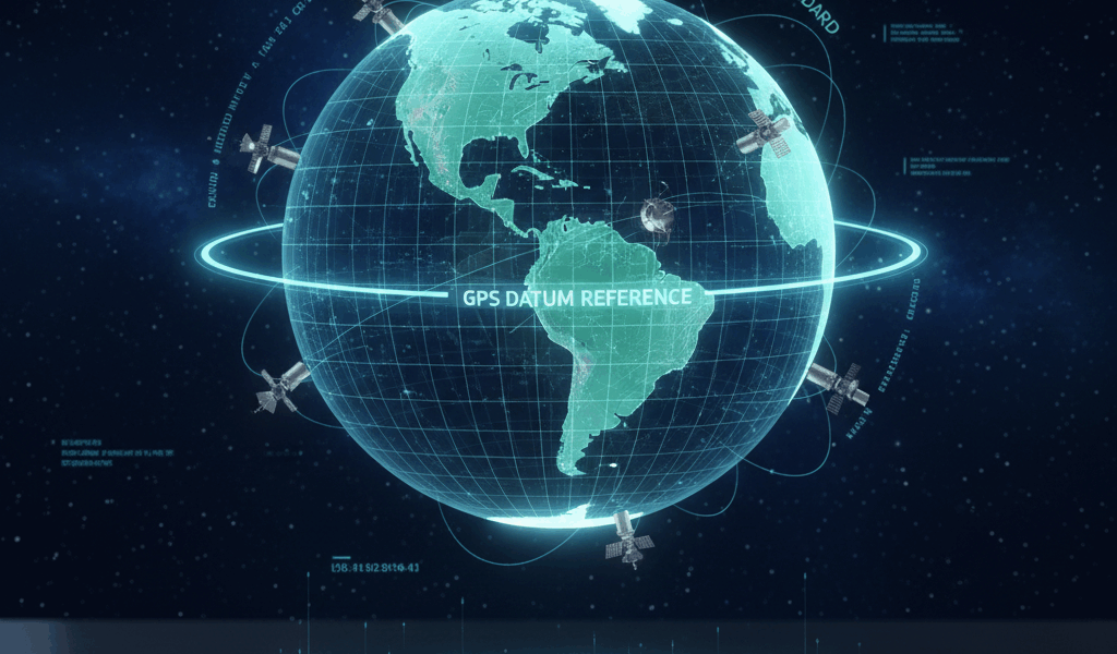
WGS 84 is the acronym for the World Geodetic System established in 1984. It serves as the standard for global mapping and navigation, used by GPS technology worldwide. Understanding WGS 84 is crucial for anyone involved in geography, navigation, or any field requiring precise location data.
Background

The WGS 84 was developed by the United States Department of Defense. It’s a global reference system for geospatial coordinates. Prior to WGS 84, various countries and organizations used different reference systems, which caused discrepancies in mapping and navigation data.
Key Features
WGS 84 provides a consistent, global definition of coordinates, elevations, and geopotential. This system includes:
- An Earth-centered, Earth-fixed coordinate system
- The definition of the gravitational model used
- A reference ellipsoid with associated parameters
- A geopotential model known as the EGM96
Ellipsoid and Datum
The reference ellipsoid in WGS 84 approximates the shape of the Earth. It’s defined by parameters such as semi-major axis and flattening. The semi-major axis is the equatorial radius, while the flattening factor accounts for the Earth’s slightly flattened shape at the poles.
Semi-major axis: 6,378,137.0 meters
Flattening factor: 1/298.257223563
Coordinate System
WGS 84 uses a Cartesian coordinate system. The origin is the Earth’s center of mass. The X-axis points towards the intersection of the equator and the Prime Meridian. The Z-axis aligns with the Earth’s rotational axis. The Y-axis is orthogonal to the X and Z axes, completing the right-handed system.
Geoid Model
The geoid model in WGS 84, known as EGM96, represents the mean sea level. This model helps in determining height or elevation above sea level. EGM96 is a set of spherical harmonics describing the Earth’s gravitational potential. It accounts for variations in the Earth’s gravitational field.
Applications
WGS 84 underpins many technologies. It’s essential for:
- Global Positioning System (GPS)
- Geographic Information Systems (GIS)
- Remote Sensing
- Aerospace and naval navigation
- Mapping and charting
Global Positioning System (GPS)
GPS satellites broadcast their location and the current time from onboard atomic clocks. GPS receivers use these broadcasts to determine their exact position. WGS 84 provides the reference frame for this process, ensuring consistent and accurate location data globally.
Geographic Information Systems (GIS)
GIS relies on WGS 84 for spatial data management. This system allows users to collect, store, access, and analyze geographic data accurately. The unified reference frame ensures compatibility and interoperability of spatial data from different sources.
Remote Sensing
WGS 84 aids remote sensing applications by providing a consistent geospatial framework. It ensures that data from satellites and airborne sensors can be correctly registered and interpreted, facilitating accurate monitoring and analysis of environmental changes.
Aerospace and Naval Navigation
Aerospace and naval navigation systems depend on WGS 84 for accurate global positioning. The consistency of WGS 84 allows for precise navigation and positioning of aircraft and ships, enhancing safety and operational efficiency.
Updates to WGS 84
Since its inception, WGS 84 has undergone several updates to improve accuracy. These updates reflect better understandings of the Earth’s shape, gravitational field, and dynamics. Despite these changes, the core principles and parameters of WGS 84 remain consistent.
Legacy Systems
Prior to WGS 84, many national and regional datums were in use. These include NAD27 in North America and ETRS89 in Europe. Differences between these datums and WGS 84 require transformation parameters for accurate data integration. Legacy systems still hold historical value but pose challenges for modern applications.
Challenges and Criticisms
Though widely adopted, WGS 84 is not without challenges:
- Local deviations due to tectonic activity
- Complexities in transforming data from older datums
- Challenges in integrating WGS 84 data with regional models
These factors necessitate ongoing efforts to refine and localize geospatial data frameworks.
Importance for Future Technology
As technologies like autonomous vehicles and advanced robotics evolve, the importance of precise geospatial data grows. WGS 84 provides a reliable foundation for these innovations. Enhanced by continual updates and refinements, it remains crucial for future geospatial applications.
Learning and Utilization
For those entering fields that rely on geospatial data, understanding WGS 84 is paramount. Resources for learning include:
- Textbooks on geodesy and geographic information science
- Online courses and tutorials
- Workshops and seminars
Practical experience with GIS software and GPS devices also provides valuable insights.
“`


